North Island Battered by Severe Thunderstorms, Heavy Rain, and Tornado; Flooding Risks High Across New Zealand
Dec 3, 2025
 New Zealand
Weather
New Zealand
Weather
New Zealand
Weather
New Zealand's North Island faces severe thunderstorms, heavy rain, and winds, with a tornado reported in Manawatū. Flooding and hazardous driving conditions are
North Island Endures Severe Storms, Heavy Rain & Tornado Chaos
New Zealand's North Island is currently grappling with a potent mix of severe thunderstorms, torrential rain, and powerful winds, with a confirmed tornado causing damage in Manawatū. MetService has issued numerous warnings and watches across the region for Wednesday, December 3, 2025, advising residents to brace for challenging conditions and potential hazards.
Auckland Under Severe Thunderstorm Warning
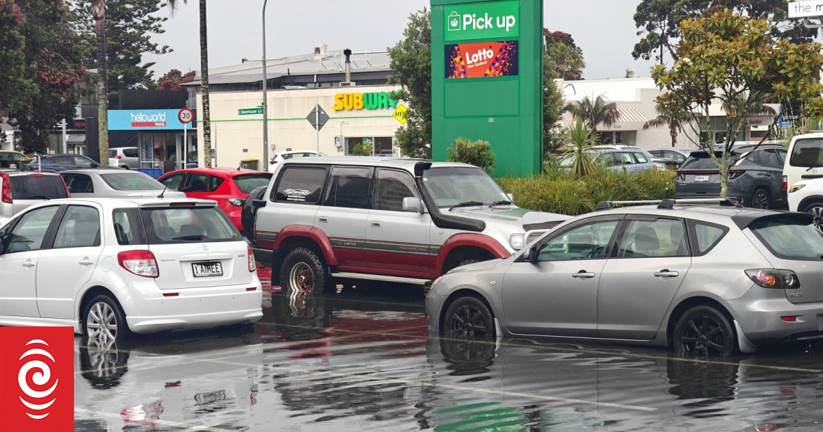
Auckland residents are facing severe thunderstorm warnings, with MetService forecasting exceptionally heavy downpours. Specific areas under alert include the Gulf, Kaipara, Auckland City, Franklin, Rodney, and Albany. Radar at 3:22 PM detected severe thunderstorms near Wellsford and Kaiwaka, moving southeast towards Warkworth, Helensville, and eventually metropolitan Auckland, Orewa, and Albany by 4:22 PM. The intense rainfall accompanying these storms poses a significant risk of surface and flash flooding in urban areas, streams, and gullies, making driving exceptionally dangerous. A dramatic image shared by Hauraki Gulf Weather captured lightning striking the iconic Sky Tower this afternoon, underscoring the severity of the weather.
Regional Impact: Bay of Plenty, Gisborne & Manawatū
Further south, a heavy rain warning is active for the Bay of Plenty and Gisborne/Tai Rāwhiti, particularly north of Ruatoria and its inland ranges, lasting from 11 AM to 11 PM Wednesday. Meteorologist Mmathapelo Makgabutlane highlighted the Bay of Plenty as a key concern, with 80 to 120 millimetres of rain anticipated before the day's end. This, coupled with thunderstorms, could lead to short, intense bursts of rain, increasing the likelihood of flooding and slips.
The Manawatū region experienced a confirmed tornado earlier in the day, which reportedly tore through a rural motor camp, overturning a caravan and causing at least one injury. Emergency services responded to the incident at 12:36 PM.
Wider North Island Watches and Outlook
A broad severe thunderstorm watch encompasses a large section of the North Island, including the Coromandel Peninsula, Waikato, Bay of Plenty, and Taupo, from 1 PM to 6 PM on Wednesday. While most storms are expected to ease by Wednesday evening, some could become severe, bringing localised downpours of up to 40mm per hour, large hail, and strong wind gusts reaching up to 90 km/h. MetService indicated a slight chance of further tornado activity within these severe thunderstorms.
Northerly winds are expected to shift southwesterly, maintaining gusts of up to 90 km/h. In addition to severe warnings, heavy rain watches are in place for Northland, Auckland, Great Barrier Island, Coromandel Peninsula, Taranaki, Wairarapa, the eastern hills and ranges of Wellington, and central North Island areas like Waikato and inland Whanganui. Strong wind watches are also active for Northland, Auckland, Taranaki, Horowhenua to Wellington, parts of Tararua and Hawke's Bay districts, and Wairarapa.
Even the South Island is not entirely spared, with heavy rain watches issued for the Kaikōura Coast and the Chatham Islands, which also have a strong wind watch. Central Otago may experience thunderstorms on Wednesday afternoon or evening, and wind watches are in effect for Marlborough and parts of the Nelson region from Wednesday evening into early Thursday.
Despite the widespread disruption, MetService forecasts an improvement in weather conditions from Thursday onwards, offering a glimmer of relief after a tumultuous day.
By news
6 months ago
No cameras found for this country.